
FALCON POWERS – The website of the US National Aeronautics and Space Administration (NASA) has published images of the historic rainfall witnessed in the United Arab Emirates (UAE), the largest recorded since climate data recording began in 1949.
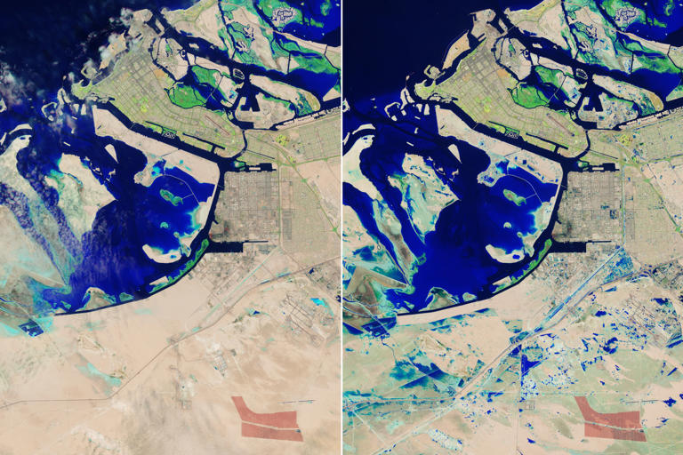
In recent days, the UAE experienced a severe weather system that brought heavy rainfall equivalent to the annual average in some cities. On April 19, the “Landsat 9” satellite captured images of the aftermath of the rains and the severe storm.
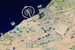
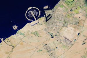
The image, taken on that day using the Operational Land Imager 2 (OLI-2) satellite, shows rainwater in Jebel Ali, located 35 kilometers southwest of Dubai.
The presence of water is depicted in blue, with rainwater visible in the industrial area of Jebel Ali, directly south of the port and near the green resorts and gardens south of the Jebel Ali Palm.
The “Landsat 9” images show the city and its surrounding area on April 3 and April 19, before and after the rainfall. The water covering Sheikh Zayed Road, a major highway that runs through Dubai and Abu Dhabi, is also visible. The UAE has set an inspiring example for countries around the world in dealing with such extreme weather conditions that it has not witnessed throughout its history.
The UAE experienced heavy rainfall in the past few days, reaching its peak on Tuesday, April 16, with the highest recorded rainfall in its modern history since climate data recording began in 1949.